If you’re working out the day-by-day logistics, our 3-day Ha Giang Loop itinerary maps out exactly which sections to tackle each day and where to sleep.
Ha Giang Loop Map: GPS Coordinates, Offline Maps, and Every Key Stop
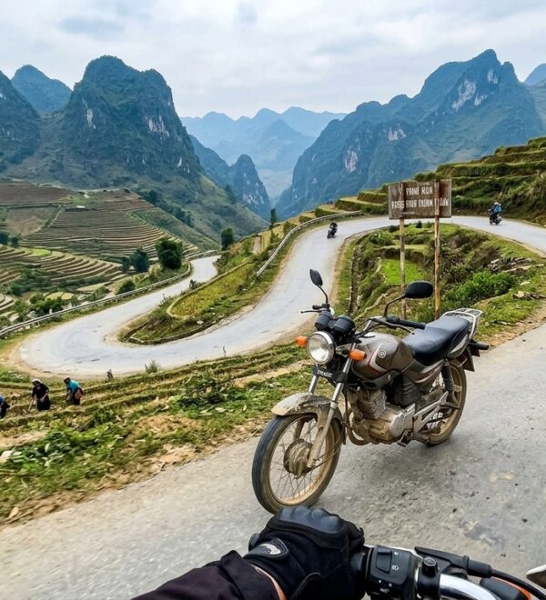
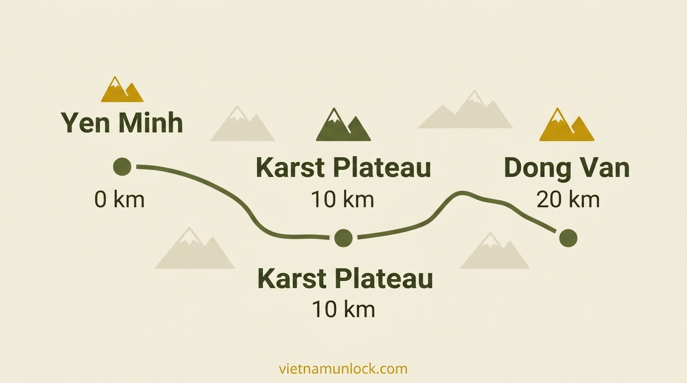
I got properly lost between Yen Minh and Dong Van on my second loop. Not “turn around and ask someone” lost — fully, phone-dead, signal-zero, standing on a karst plateau at dusk with three forks in the road and no idea which one was paved. That’s when I learned that Ha Giang and Google Maps have a complicated relationship, and that “I’ll just use my phone” is not a navigation strategy here.
This is the practical map guide I wish I’d had. GPS coordinates for every key checkpoint, the offline apps that actually work when you’re in the back country between Yen Minh and Dong Van, and a clear picture of the route so you’re never guessing which road leads to a dead end.
The Ha Giang Loop at a Glance
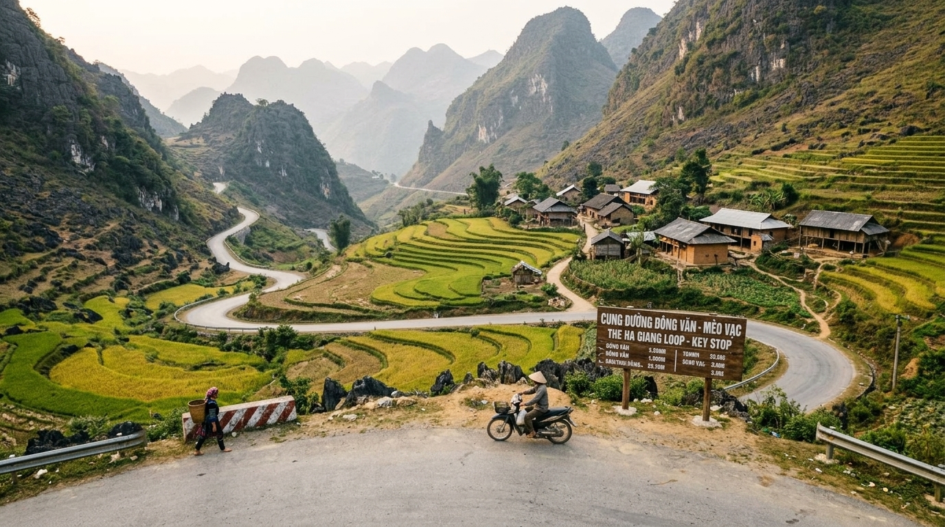
The loop covers roughly 350km of mountain road in northern Vietnam’s Dong Van Karst Plateau UNESCO Global Geopark. The classic direction is clockwise — Ha Giang City up the eastern edge through Quan Ba, Yen Minh, and Dong Van, then across the Ma Pi Leng Pass into Meo Vac, and back down through the interior to Ha Giang.
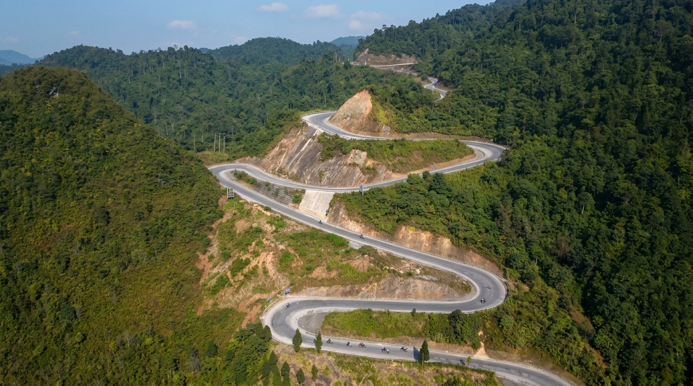
The road is entirely paved as of 2026. What changes is the quality — some sections near Yen Minh are smooth four-lane highway, others near Lung Cu are single-track with no guardrail and a 200-meter drop to your left.
Offline Map Setup — Do This Before You Leave Hanoi
Phone signal on the loop is patchy at best and absent at worst. The dead zones cluster between Yen Minh and Dong Van, on the stretch through Sung La valley, and anywhere you detour into a village off the main road. If you’re relying on a data connection to navigate, you will get stuck.
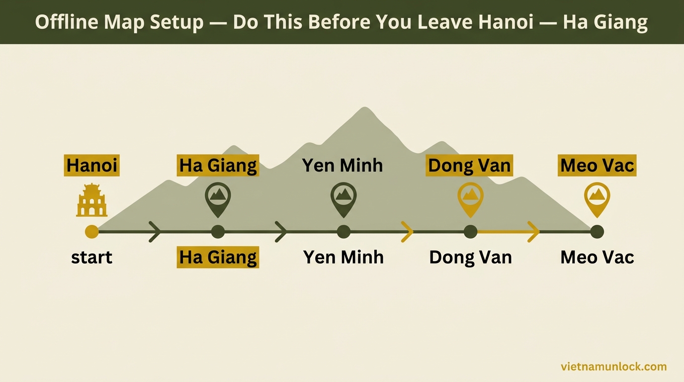
Two apps work well offline in this region:
Maps.me — Download the “Vietnam” map in the app before you leave Hanoi. Free, works fully offline, shows village tracks the main navigation apps don’t. The Ha Giang region is well-mapped including minor roads. This is what I use now.
OsmAnd — More features than Maps.me (contour lines, offline search), heavier on battery. Download the North Vietnam region. Good if you want elevation context on the passes.
Google Maps offline — Usable as a fallback. Download the Ha Giang province area via the “offline maps” option before leaving. Less detailed on village roads, but the main route is solid.
Tip: save your hostel address in every stop (Dong Van, Meo Vac) before you set off in the morning. When your signal drops, you can still navigate to a saved pin.
The Route: Distances and Drive Times
This is the clockwise route most riders take. Drive times assume a sensible pace — not racing, stopping for viewpoints, no breakdowns.
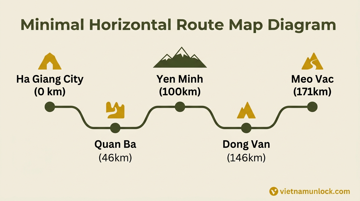
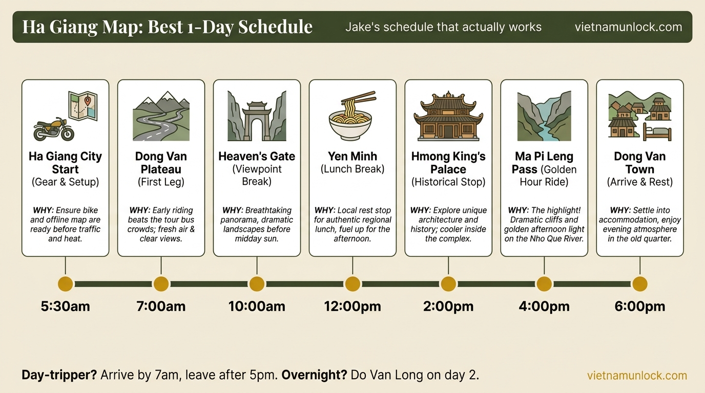
Day 1: Ha Giang City → Dong Van (121km)
This is the longest driving day in terms of distance, but the road is relatively forgiving. Most of the drama is at Quan Ba’s Heaven’s Gate viewpoint and the Sung La valley section through the karst landscape.
- Ha Giang City → Quan Ba: 46km, roughly 1.5 hours. Highway-quality road for most of it, rises steadily from 100m to about 1,500m elevation. Heaven’s Gate viewpoint is at the top before you drop into Quan Ba valley.
- Quan Ba → Yen Minh: 54km, 1.5–2 hours. More winding, passes through pine forests and H’mong villages. Yen Minh is a real town with ATMs, fuel, and food — stock up here.
- Yen Minh → Dong Van: 46km, 1.5–2 hours. The scenery starts getting serious here. The road cuts through the karst plateau, passes Sung La valley (Pao’s House film location), and drops into Dong Van old town. This section has the worst signal.
Dong Van old town is worth arriving at with daylight still showing. The 50,000 VND old town entry fee covers a cluster of French colonial shophouses from the early 1900s — genuinely atmospheric, not manufactured.
Day 2: Dong Van → Meo Vac (25km)
Twenty-five kilometers. Two to three hours. This is the day everyone comes to Ha Giang for.
The road from Dong Van to Meo Vac crosses the Ma Pi Leng Pass — 1,600 meters elevation, 200-meter drops on the outer edge, no guardrail on roughly half the route. The road switchbacks down through the Nho Que river gorge, one of the deepest canyons in Southeast Asia. You see the turquoise green ribbon of water from the pass viewpoints before you’re anywhere near it.
Ride this slow. I mean 20km/h in the tight sections, pull over for photos, let the trucks pass before you move around them. The riders who get into trouble on Ma Pi Leng are always the ones treating it like a race circuit.
Day 3–4: Meo Vac → Ha Giang City (115km)
The return leg runs south from Meo Vac through the interior — less dramatic than the Dong Van side but with its own character. The road passes Du Gia before joining the main highway back to Ha Giang City.
- Meo Vac → Du Gia: ~70km, 2.5–3 hours. Quiet road, fewer tourists, some of the best valley views of the whole loop.
- Du Gia → Ha Giang City: ~45km, 1.5 hours. Mostly flat, better road surface.
Many riders split this into Day 3 (Meo Vac → Du Gia, overnight at a local homestay) and Day 4 (Du Gia → Ha Giang City + bus back to Hanoi). The Du Gia stopover makes the return trip less of a slog and adds the turquoise Nho Que boat trip as an optional morning activity.
GPS Coordinates for Key Points
These are the locations you’ll actually need when signal is patchy. Save them before you leave.
| Location | GPS | Notes |
|---|---|---|
| Ha Giang Police Office (Permit) | 22.8228° N, 104.9832° E | Get your restricted area permit here first. Weekdays 7:30–11:30am and 1:30–4:30pm |
| Heaven’s Gate Viewpoint (Quan Ba) | 23.0684° N, 104.9726° E | Before the descent into Quan Ba valley. Twin mountains visible in clear weather |
| Yen Minh Town | 23.1138° N, 105.1538° E | Last reliable ATM and fuel before Dong Van |
| Sung La Valley Junction | 23.1765° N, 105.2087° E | Turn for Pao’s House film location and H’mong village |
| Dong Van Old Town | 23.2782° N, 105.3641° E | 50,000 VND entry fee. Best overnight on the loop |
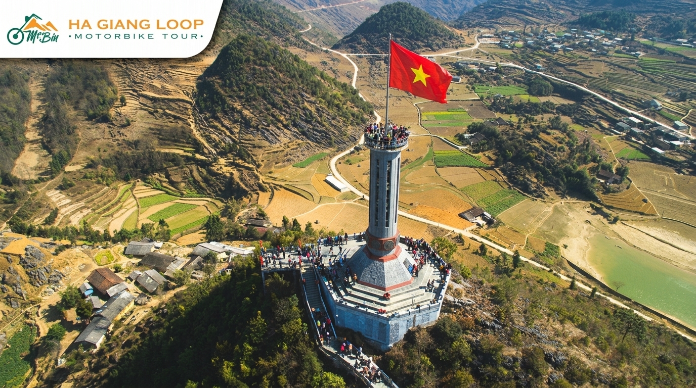
| Lung Cu Flag Tower | 23.3716° N, 105.3487° E | Vietnam’s northernmost point. 24km detour from Dong Van (+1.5 hours return) |
| Ma Pi Leng Pass Summit | 23.2267° N, 105.3923° E | Main viewpoint. Pull well off the road before stopping |
| Nho Que River Viewpoint | 23.2204° N, 105.3947° E | Best angle on the turquoise gorge. 200m walk from the road |
| Meo Vac Town Center | 23.1675° N, 105.4076° E | Sunday market. Most popular guesthouses: O’Chau, Ma Pi Leng Panorama |
| Du Gia Village | 22.9863° N, 105.3421° E | Nho Que boat trip departure. Good overnight option on return leg |
Police Checkpoints — What the Map Doesn’t Show
There are 10–20 police checkpoints on the loop in 2026, and none of them appear on any map. They move. The density has increased significantly following the 2026 safety crackdown after a fatal accident involving a foreign rider.
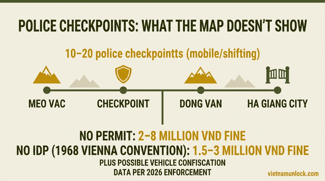
What you need at every checkpoint: a valid International Driving Permit (IDP under the 1968 Vienna Convention) plus your home country license, and your Ha Giang restricted area permit. No permit: 2–8 million VND fine. No valid IDP: 1.5–3 million VND fine plus possible vehicle confiscation as of 2026 enforcement.
The anti-clockwise direction (Meo Vac → Dong Van → Ha Giang City) historically had fewer checkpoints, but this has become less reliable since the crackdown.
Signal Coverage Map (Real Talk)
The following areas have consistently poor or zero signal. Plan accordingly — download offline maps, tell your hostel your expected route for the day, and don’t count on a data connection for navigation.
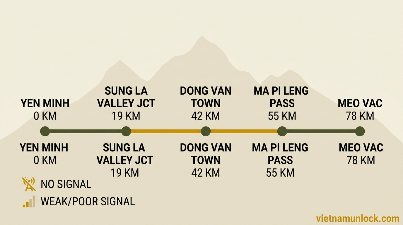
- Yen Minh → Dong Van: Signal drops significantly after the Sung La valley junction. Patches of Viettel signal near Dong Van town
- Ma Pi Leng Pass: Zero to minimal signal on the pass itself. Signal returns in Meo Vac
- Du Gia → Meo Vac (interior road): Mostly dead. The best Viettel SIM card you can buy won’t help here
- Village detours: Any time you turn off the main route into a village, assume no signal
Viettel has the best rural coverage in this region. Vietnamobile is nearly useless north of Yen Minh. If you’re buying a SIM for the trip, get Viettel.
The Detours Worth Adding to Your Map
Lung Cu Flag Tower
24km detour from Dong Van (48km return). Vietnam’s northernmost point, technically. A Chinese watchtower aesthetic with a massive Vietnamese flag. The road up is through more karst country and a couple of H’mong villages. Add 1.5–2 hours to your day if you go. Most people go, a few regret the time. Worth it in the morning before the tour groups arrive.
Nho Que River Boat Trip (Du Gia)
This is off the main loop route, reachable from Du Gia on the return leg. The Nho Que river runs turquoise green through a sheer limestone gorge — the boat trip goes 4km into the canyon from the Du Gia launch point. Cost is around 80,000–120,000 VND per boat, shared between 4–6 passengers. Takes about 45 minutes. Early morning has the best light and fewest other boats.
Pao’s House (Sung La Valley)
On the main route between Yen Minh and Dong Van. The filming location for the 2006 Vietnamese film “Chuyện của Pao” — a traditional H’mong house maintained as a heritage site. Entry around 10,000 VND. Thirty minutes maximum. The valley itself is the real draw.
Anti-Clockwise vs Clockwise: Which Direction?
Most riders go clockwise (Ha Giang → Dong Van → Meo Vac). The reasons are solid: the hardest climb is in the early days when you’re fresh, and you arrive at Ma Pi Leng from the Dong Van side which gives you the better approach angle for the viewpoints.
| Clockwise ↻ Ha Giang → Dong Van → Meo Vac |
Anti-Clockwise ↺ Ha Giang → Meo Vac → Dong Van |
|
|---|---|---|
| Ma Pi Leng timing | Day 2 — rested, better prepared | Day 1 — fresh legs but less context |
| Ma Pi Leng approach angle | ✅ Better — Dong Van side has wider road, clearer viewpoints | Reverse approach, narrower entry |
| Traffic | More riders going same direction | Slightly less traffic on most sections |
| Police checkpoints (2026) | 10–20 checkpoints both directions — no meaningful difference now | Historically fewer, gap closed after 2026 crackdown |
| Dong Van arrival | Day 1 evening — full day to explore next morning | End of loop — less time to explore |
| Who should pick this | Most riders — 80% choose this | If you want a different perspective on the scenery |
There’s no wrong answer. Clockwise is the default and the majority route. Anti-clockwise is fine if you have a specific reason for it.
What to Save on Your Phone Before You Leave
Before you ride out of Ha Giang City:
- Download Maps.me Vietnam map (offline)
- Save your hostel in Dong Van as a pin
- Save your hostel in Meo Vac as a pin
- Save Ha Giang Police Office pin (for permit reference)
- Screenshot this GPS coordinates table
- Your hostel’s phone number (in case you’re late)
That’s it. You don’t need anything else. The loop road signs are adequate on the main route — it’s only when you leave the main road that things get confusing.
FAQ
What’s the best offline map app for the Ha Giang Loop?
Maps.me with the Vietnam map downloaded. It works when your phone signal is zero, covers village tracks, and is free. Download it and the Vietnam map before leaving Hanoi — not in Ha Giang City where WiFi is slower.
How long is the Ha Giang Loop?
The main route is approximately 350km. With typical detours (Lung Cu, Nho Que river), you’re looking at 380–400km total. Four days is comfortable. Three days is possible but rushed — you’ll miss a lot.
How many police checkpoints are on the loop?
Between 10 and 20 in 2026, with increased enforcement following the safety crackdown. They’re not on any map — they move. You need a valid IDP, home country license, and Ha Giang restricted area permit at every one.
Where is the Ha Giang permit office?
Ha Giang Public Security Department (Công an tỉnh Hà Giang), roughly 22.8228° N, 104.9832° E, in Ha Giang City center. Any hostel can point you to it. Cost is 230,000 VND, you need your passport, weekdays only 7:30–11:30am and 1:30–4:30pm.
What’s the GPS for Ma Pi Leng Pass?
The main summit viewpoint is at approximately 23.2267° N, 105.3923° E. The Nho Que river gorge viewpoint is slightly south at 23.2204° N, 105.3947° E. Both require pulling well off the road — the pass is narrow.
Is there cell signal on the Ha Giang Loop?
Patchy. Viettel has the best rural coverage but signal still drops out between Yen Minh and Dong Van, on Ma Pi Leng, and on the interior return road via Du Gia. Use offline maps. Don’t rely on a data connection for navigation.